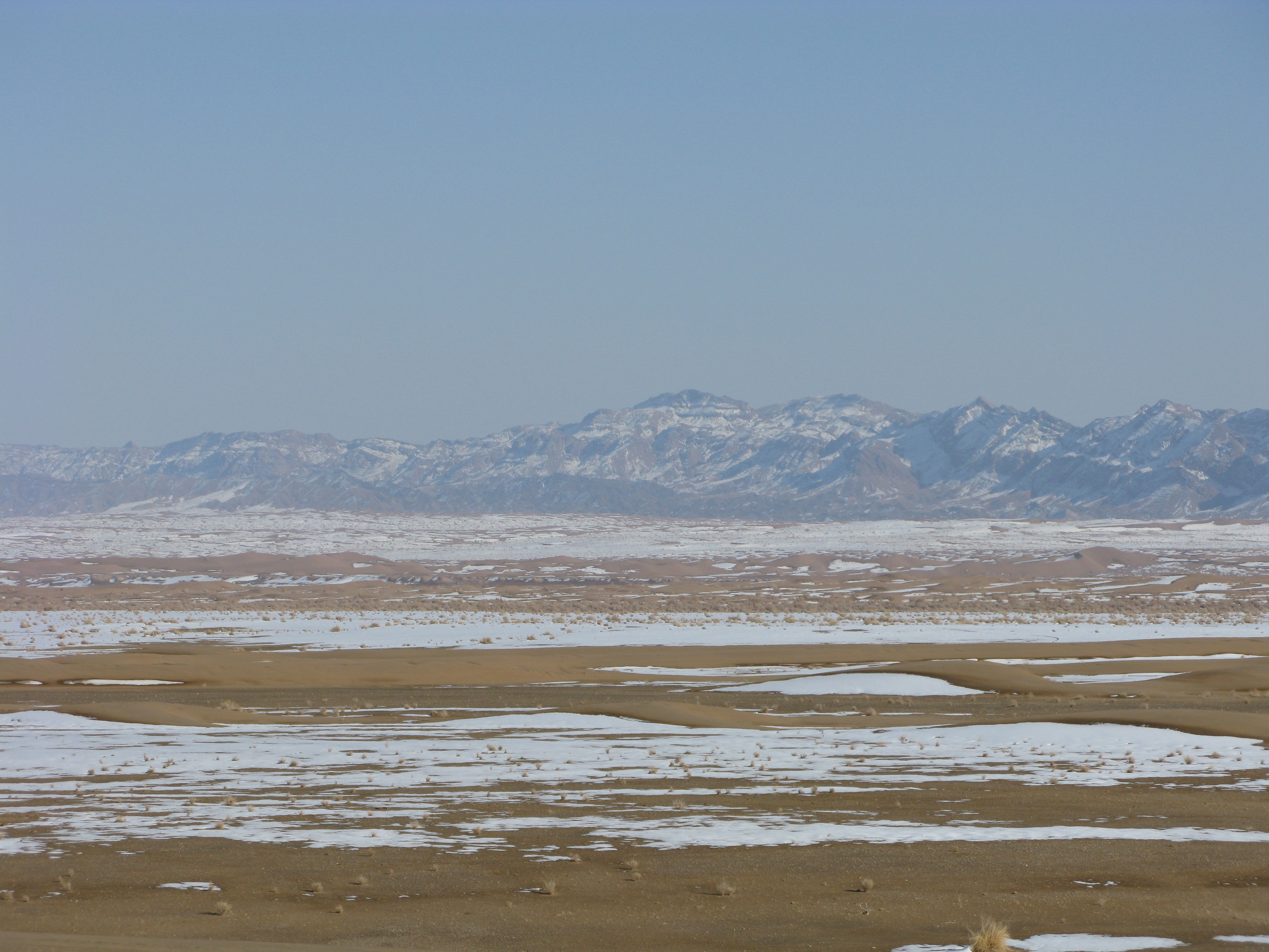
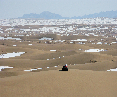
Photo : Dasht Kavir
Photo by:
Afshin Iranpour
Province:
IsfahanKeywords:
Dasht Kavir Mesr Iran Desert Farahzad Mountain Snow Afshin Iranpour Khur Biabanak Jandagh Iran Young Tourists SocietyAdditional Information:
Dimensions:
4000 * 3000
File Size:
4948909
Make:
Canon
Maker Note:
Model:
Canon PowerShot G9
Mime:
image/jpeg
DateTime:
2008:02:12 15:04:52
Shutter Speed Value:
329/32
Aperture Value:
128/32
Exposure Bias Value:
0/3
Flash:
24
Focal Length:
29167/1000
X Resolution:
180/1
Y Resolution:
180/1
Resolution Unit:
2
Description:
Dasht-e Kavir (Persian: دشت كوير, lit. 'Low Plains' in classical Persian, from khwar (low), and dasht (plain, flatland), also known as Kavir-e Namak (lit. 'salty lowlands') and the Great Salt Desert, is a large desert lying in the middle of the Iranian plateau. It is about 800-kilometre-long (500 mi) by 320-kilometre-wide (200 mi) with a total surface area of about 77,600 km2 (30,000 sq mi), making it the Earth's 24th largest desert.[1] The area of this desert stretches from the Alborz mountain range in the north-west to the Dasht-e Lut in the south-east. It is partitioned among the Iranian provinces of Khorasan, Semnan, Tehran, Isfahan and Yazd.
Download this photo

