تصویر : هامون جازموریان
عکاس:
Afshin Iranpour
استان:
کرماناطلاعات تکمیلی:
ابعاد:
2048 * 1536
اندازه فایل:
1744766
Make:
Canon
Maker Note:
Model:
Canon DIGITAL IXUS II
نوع:
image/jpeg
DateTime:
2005:03:31 16:56:24
Shutter Speed Value:
287/32
Aperture Value:
181/32
Exposure Bias Value:
0/3
Flash:
24
Focal Length:
173/32
X Resolution:
180/1
Y Resolution:
180/1
Resolution Unit:
2

توضیحات:
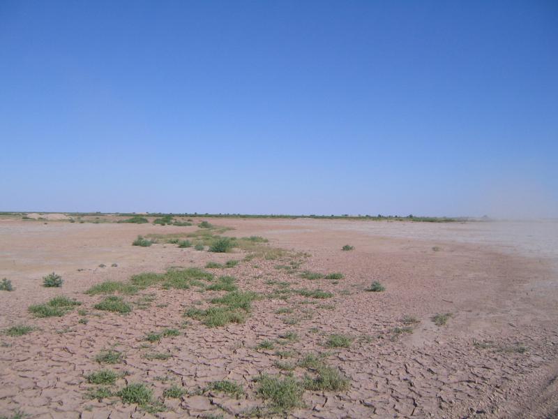
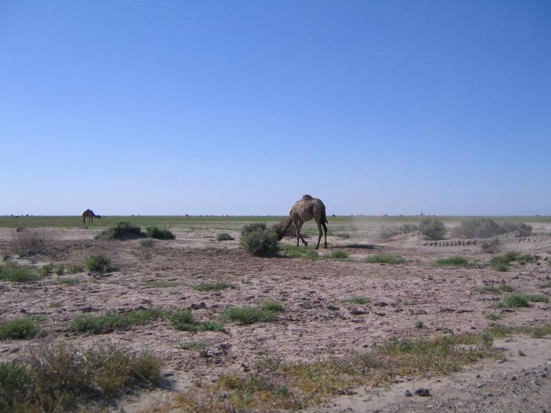
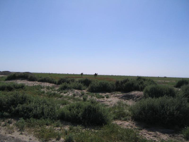
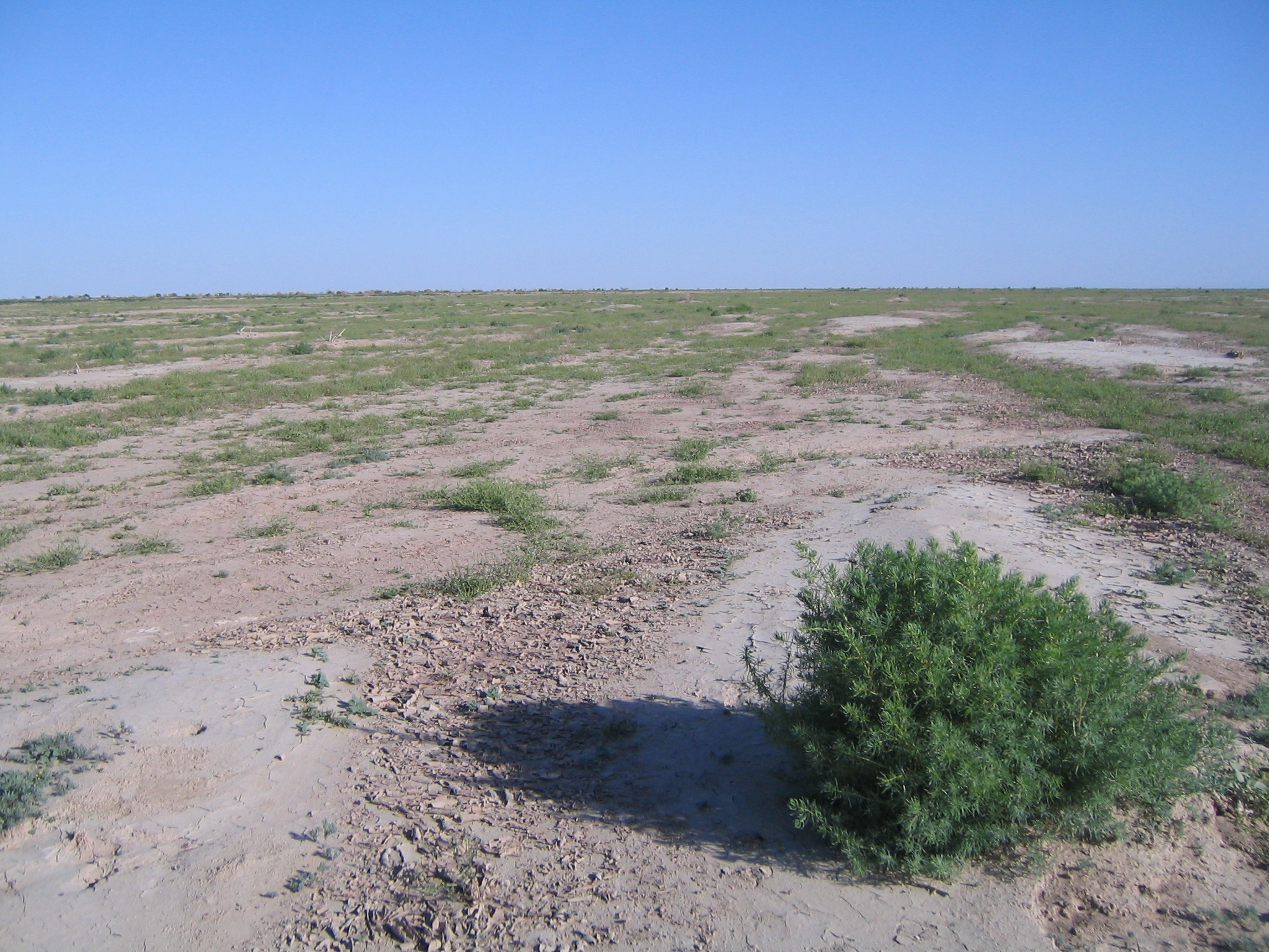
باتلاق جازْموریان، یا جَزْموریان، حوضهای آبریز و دریاچهای به همین نام در جنوب شرقی ایران درجنوب کوه شاهسواران کرمان واقع شدهاست. حوضهٔ آبریز جازموریان با وسعـت ۶۹ هزار و۶۰۰ کیلومتر مربع، از لحاظ تقسیمبندی بخشی از حوضهٔ مسدود میانی ایران به شمار میآید. نیمـهٔ باختری این حوضـه بـه وسعت ۳۵۶۰۰ کیلومتر مربع در استان کرمان، و نیمهٔ خاوری آن به وسعـت ۰۰۰‘۳۴ کیلومتر مربع در استان سیستان و بلوچستان جای دارد. دشتهای حاصلخیز جیرفت، فاریاب و رودبار جنوب در استان کرمان، و دشتهای ایرانشهر، بمپور، سردگان، دلگان، سرتختی و اسپکه در استان سیستان و بلوچستان در محدودهٔ این حوضهٔ آبریز واقعاند. بعضی از این دشتها مانند دشت جیرفت و رودبار از مساعدترین نقاط فلات ایران برای کشت گیاهان گرمسیری به شمار میآیند. حوضهٔ آبریز جازموریان از شمال توسط کوههای لالهزار، جبال بارز و کوه شهسواران از حوضهٔ آبریز کویر لوت، و از جنوب توسط رشته کوههای زاگرس (کوههای بشاگرد) از حوضهٔ آبریز دریای عمان و خلیج فارس جدا میشود. حدود ۱۶۰‘۳۴ کیلومتر مربع از اراضی این حوضه را مناطق کوهستانی، و حدود ۴۰۰‘۳۲ کیلومتر مربع آن را دشتهـا و کوهپایـهها، و حـدود ۰۰۰‘۳ کیلومتر مربع باقیمانده را باتلاقها و شورهزارها تشکیل مید
دانلود این عکس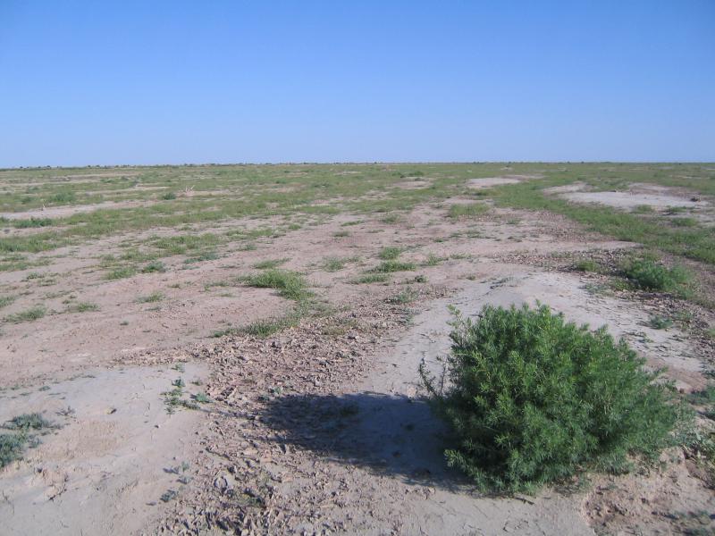